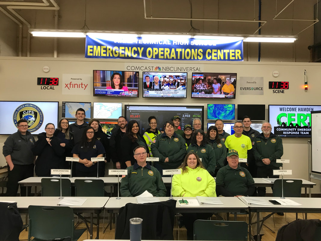
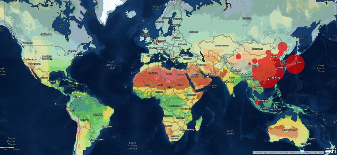
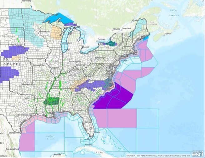
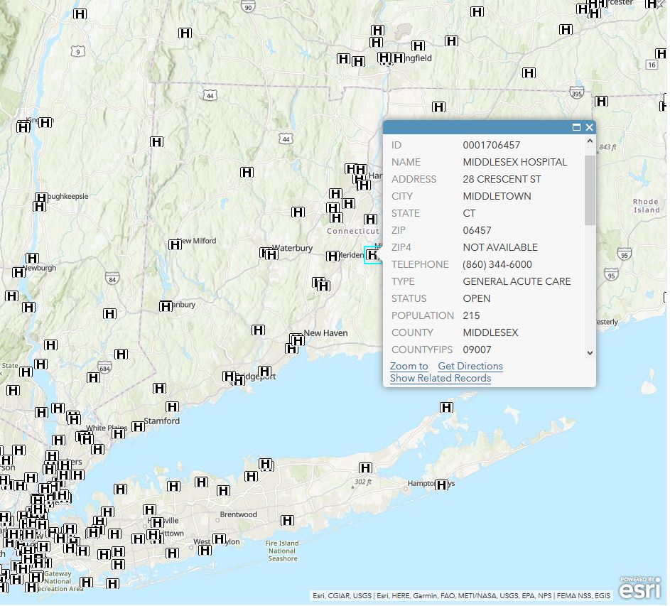
Vinal CJPS students attended a meeting of the CT-1 Disaster Medical Assistance Team and provided a briefing on COVID-19 and the 2019-nCoV. Their presentation went amazing and the roughly 20 responders in attendance and 40 responders who observed via teleconference were blown away at the quality of the briefing. Responders commented sincerely that they felt safer deploying knowing the class was behind them and looking out for their safety. We are so proud of the professionalism of our students and the quality of their work. Vinal Tech was fortunate enough to receive educational licenses to ESRI's VERY powerful ArcGIS software which our EOC took advantage of. You may notice the "esri" logo in the corner of many maps you see in the news, weather reports, and even in your town planning and zoning! That is because almost all of this data works through this powerful software. Students can plot any number of thousands and thousands of layers such as police stations, hospitals, fire departments, and even Dunkin Donuts with the simple clicking of a checkbox! They are then able to plot multiple layers over each other, run analysis tools, and even share their maps with the world. The example below is an amazingly creative map made by our student Will who plotted the new coronavirus against world temperature differentials to show how global temperatures affect the transmission rates. Brilliant!
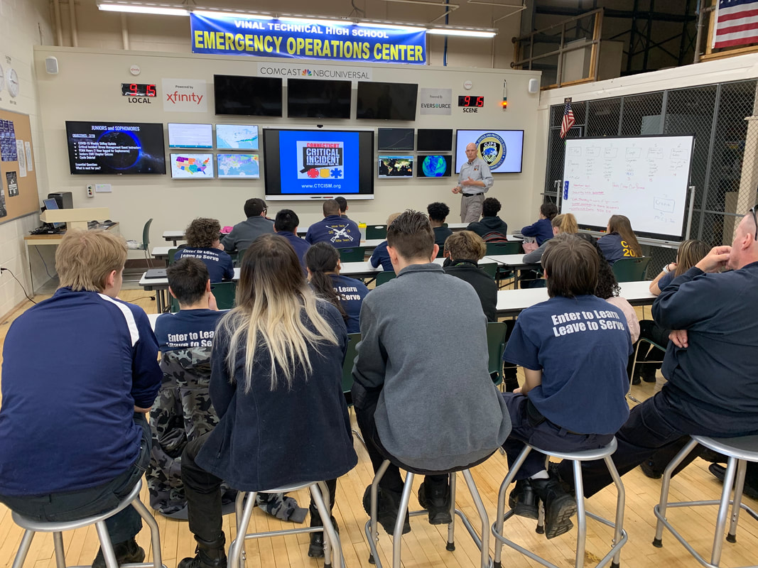
We had a visit from the Connecticut Critical Incident Stress Management Team to talk about critical incident stress and all the amazing resources available for responders. Having been to several critical incident debriefings, Mr. Linskey and I are very familiar with how valuable these amazing teams are in the wake of horrific tragedies and we were happy the students were able to meet these amazing individuals.
|
Archives
June 2024
Categories |
|
|

 RSS Feed